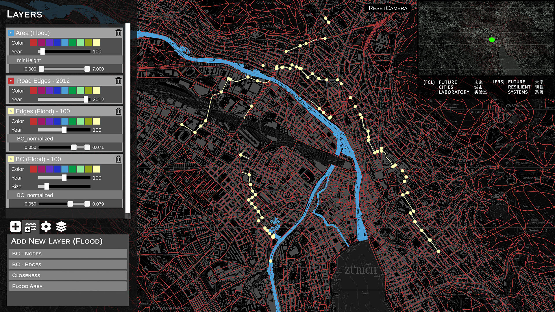
Developed for the Future Resilient Systems, this application parses geo-referenced temporal data and visualizes it onto a top down view. It allows users to overlay different datasets as well as filter out subsets of data through the use of a panel interface.
The visualization and filtering is real-time, allowing researchers to explore different variables, settings and datasets. By being visual, it also allows certain patterns to be spotted easily as compared to working with traditional tables of numbers or a static map plotting or graphing tool.
| Team | CIVAL + Future Resilient Systems |
| Contacts | Ylenia Casali, Michael Joos, Hilal Fitri |
| Video | Road network changes from mayor disruptions |
| Publications | Casali Y, Heinimann HR (2019) |
